Actions for public awareness, information, education and communication
Inform local citizens and visitors about the major hazards through public meetings, flyers, website, training, collaborative platforms, brochures, public presentations, internet portals, etc.
- Category: Non-structural / Informational
- Application Scale: River Basin
- Sector: Water / Mobility / Telecom / Social / Waste / Health / Energy / Environment / Emergency
- Target: Adaptation
Adapt and improve the care services to cover the impacts of climate change on health
Adapt and improve the care services to help people face the impacts of climate change on health
- Category: Non-structural / Government policies and programs
- Application Scale: Neighborhood
- Sector: Social
- Target: Adaptation
Adapt the necessary current urban planning regulations
Adapt the necessary current urban planning regulations so they help to achieve the climate change mitigation and adaptation goals and targets
- Category: Non-structural / Laws and regulations
- Application Scale: City
- Sector: Water / Mobility / Telecom / Social / Power / Waste / Health / Energy / Environment / Emergency
- Target: Adaptation
Adaptation of intake infrastructure to handle low flows
Water abstraction structures are often designed to tackle a given range of water height at receiving water bodies, thus not allowing abstraction of water when flows are at lower levels. To increase the flexibility of abstraction structures it is of interest to face meteorological conditions conducing to drought.
- Category: Structural / Engineered and built environment
- Application Scale: River Basin
- Sector: Water
- Target: Adaptation
Adding rain gardens before sewer inlet points
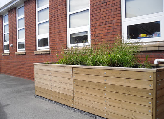
An additional point of connection from the roof drainage rain water down pipe. Removing the first few mm of rain before discharging to the sewage network via an overflow system.
- Category: Structural / Ecosystem-based
- Application Scale: Building
- Sector: Water / Social / Health / Environment
- Target: Adaptation
Analyse social perception of climate change effects on the coast
Analyse the social perception of the effects of climate change on the coast
- Category: Non-structural / Informational
- Application Scale: City
- Sector: Social / Environment
- Target: Adaptation
Analyse how climate change specifically affects each district
Analyse how climate change specifically affects each district in order to identify possible risks and vulnerabilities (heat, presence of people vulnerable to climate change, buildings in a bad state of repair, a lack of green spaces, etc.) and define what specific action is required, in collaboration with existing plans and their updated versions, such as the Neighbourhood Plan or the Barcelona Green Infrastructure and Biodiveristy Plan
- Category: Non-structural / Informational
- Application Scale: Neighborhood
- Sector: Water / Mobility / Telecom / Social / Power / Waste / Health / Energy / Environment / Emergency
- Target: Adaptation
Assessment of economic impacts of climate change at urban level
Carry out a study of the potential economic impacts of climate change on each sector of the city
- Category: Non-structural / Government policies and programs
- Application Scale: City
- Sector: Water / Mobility / Telecom / Social / Power / Waste / Health / Energy / Environment / Emergency
- Target: Adaptation
Assessment of energy impact of supplying water
Study the energy impact of supplying water (desalination plant, regenerated water plants, etc.)
- Category: Non-structural / Educational
- Application Scale: City
- Sector: Water
- Target: Adaptation
Assessment of thermoregulatory vegetation in the city
Decide which zones need more thermoregulatory vegetation, those where it is not necessary and where xerophile vegetation is already sufficient
- Category: Non-structural / Behavioural
- Application Scale: City
- Sector: Social / Environment
- Target: Adaptation
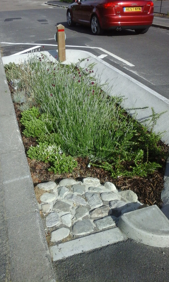
Bioretention area
A bioretention area is a stormwater treatment system that is a depression integrated into the landscape. A bioretention area captures runoff from an impervious surface and allows that water to infiltrate through the soil media. As the water infiltrates, pollutants are removed from the stormwater runoff through a variety of mechanisms including adsorption, microbial activity, plant uptake, sedimentation, and filtration. Some of the incoming runoff is temporarily held by the soil of the bioretention area and later leaves the system by way of evapotranspiration or exfiltration to the ground water.
- Category: Structural / Engineered and built environment
- Application Scale: Street
- Sector: Water / Social / Health / Environment
- Target: Adaptation
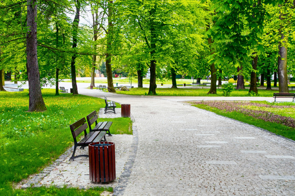
Build and promote urban forest and park
An urban forest is a forest or a collection of trees that grow within a city, town or a suburb. In a wider sense it may include any kind of woody plant vegetation growing in and around human settlements. Cities can use parks to reduce public costs for stormwater management, flood control, transportation, and other forms of built infrastructure.
- Category: Non-structural / Government policies and programs
- Application Scale: City
- Sector: Water / Mobility / Social / Health / Environment
- Target: Adaptation
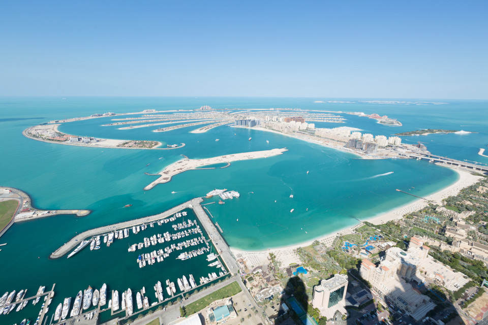
Build artificial island
An artificial island is a man-made island, which can be integrated with flood protection. The island can be created by land reclamation, expanding existing islets, construction on existing reefs, or merging several natural islets into a bigger island. Artificial islands may vary in scale from small islets for a single structure, to islands that support entire communities and cities.
- Category: Structural / Engineered and built environment
- Application Scale: City
- Sector: Water / Mobility / Telecom / Social / Power / Waste / Health / Energy / Environment / Emergency
- Target: Adaptation
Build recharging pools at high points in the city and generate a flow retention and lamination effect, and install rainwater capture systems so it can be reused. Evaluate their exploitation cost
Build recharging pools at high points in the city and generate a flow retention and lamination effect, and install rainwater capture systems so it can be reused. Evaluate their exploitation cost
- Category: Structural / Engineered and built environment
- Application Scale: City
- Sector: Water
- Target: Adaptation
Build riverside flood defence walls
Increase the height of existig defences or build new walls in places to future design flood levels inclusive of climate change predictions.
- Category: Structural / Engineered and built environment
- Application Scale: City
- Sector: Water / Mobility / Telecom / Social / Power / Waste / Health / Energy / Environment / Emergency
- Target: Adaptation
Build water squares
The water square combines water storage with the improvement of the quality of urban public space. It makes money invested in water storage facilities visible and enjoyable. When heavy rains occur, rainwater that is collected from the neighbourhood flows visibly and audibly into the water square. Short cloudbursts will only fill parts of the square. When the rain continues, more and more parts of the water square will gradually be filled with water. The rainwater will be held in the square until the water system in the city has enough capacity again. Then the water can run off to the nearest open water.
- Category: Structural / Engineered and built environment
- Application Scale: City
- Sector: Water / Mobility / Social / Waste / Health / Environment / Emergency
- Target: Adaptation
Characterise the various urban fabrics according to the risks that affect them
Characterise the various urban fabrics according to the risks that affect them and establish corelationships between them and key existing planning instruments to enable corrective measures to be incorporated when they are revised
- Category: Non-structural / Informational
- Application Scale: City
- Sector: Water / Mobility / Telecom / Social / Power / Waste / Health / Energy / Environment / Emergency
- Target: Adaptation
Climate shelter spaces
Identify existing and potential climate shelter spaces: public and private facilities and public spaces (e.g. parks and gardens) which could provide conditions for thermal comfort in extreme episodes and establish the services linked to the heat wave action protocols that these spaces need to offer, aside from quantifying the extra resources required (parks open 24 hours, use of “greened” school playgrounds, block interiors, etc.). Map the degree of cover to ensure territorial fairness and take into account the areas identified as the most vulnerable to heat
- Category: Non-structural / Informational
- Application Scale: City
- Sector: Social
- Target: Adaptation
Consolidate the control programmes for arboviruses and other diseases
Consolidation of the control programmes for arboviruses and other diseases
- Category: Non-structural / Government policies and programs
- Application Scale: City
- Sector: Social / Health / Environment / Emergency
- Target: Adaptation
Construction of anti-flood retention tanks
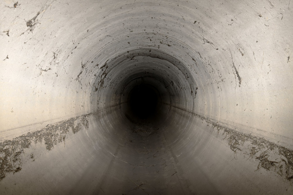
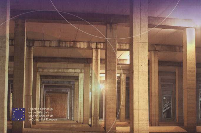
Anti-flood or retention tanks are constructed strcutures conceived to temporarily storage pluvial flows in order to attenuate the affluent flows to the downstream network, reducing the peak flow. Usually, having volumes of thousand cubic meters, these infrastructures are built underground and ensure self-cleaning conditions.
- Category: Structural / Engineered and built environment
- Application Scale: City
- Sector: Water
- Target: Adaptation


