
Construction of anti-pollution basins
Reservoirs conceived to temporarily storage pluvial flows which are contaminated in order to avoid its discharge into the receiver waters when the WWTP can't handle the generated flows.
- Category: Structural / Engineered and built environment
- Application Scale: City
- Sector: Water / Environment
- Target: Adaptation
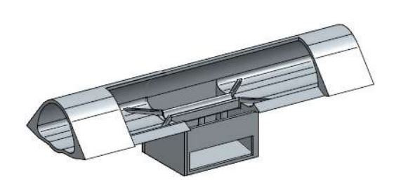
Construction of diversion tunnels
Underground structures that transport and storage stormwater and/or wastewater generated in large catchment basins.
- Category: Structural / Engineered and built environment
- Application Scale: City
- Sector: Water
- Target: Adaptation
Contribute to the Resilience Atlas
Map all climate initiatives put into practice and publish them in the resilience atlas
- Category: Non-structural / Informational
- Application Scale: City
- Sector: Water / Mobility / Telecom / Social / Power / Waste / Health / Energy / Environment / Emergency
- Target: Adaptation

Control centre and situation room
Implement a Resilience Management Centre that allows the management of critical events in the city in real time. It includes: sensors, holistic monitoring system, KPIs, early warning system and response protocols
- Category: Structural / Technological
- Application Scale: City
- Sector: Water / Mobility / Telecom / Social / Power / Waste / Health / Energy / Environment / Emergency
- Target: Adaptation

Create a network of urban nature reserves
Create a network of urban nature reserves
- Category: Structural / Ecosystem-based
- Application Scale: City
- Sector: Social / Health / Environment
- Target: Adaptation
Create a resilience atlas
Create a resilience atlas that includes vulnerability maps which ensure the information is accessible to all the municipal players involved in urban planning, development and services
- Category: Non-structural / Informational
- Application Scale: City
- Sector: Water / Mobility / Telecom / Social / Power / Waste / Health / Energy / Environment / Emergency
- Target: Adaptation
Create and maintain Flood Risk Asset Registers
Create and maintain Flood Risk Asset Registers to identify key flood risk assets and who is responsible for their maintenance. To include publically and privately owned assets and inspections of these.
- Category: Non-structural / Government policies and programs
- Application Scale: City
- Sector: Water / Mobility / Social / Waste / Health / Environment / Emergency
- Target: Adaptation

Create design criteria and, with public participation, plan the network of urban green corridors
Create design criteria and, with public participation, plan the network of urban green corridors, a mesh connecting the green spaces with each other and with the surrounding natural areas, expressly strengthening the role that green infrastructure plays as a measure for adapting to the possible effects of climate change
- Category: Structural / Ecosystem-based
- Application Scale: City
- Sector: Water / Health / Environment
- Target: Adaptation

Create seasonal gardens
Create ephemeral or seasonal gardens
- Category: Structural / Ecosystem-based
- Application Scale: City
- Sector: Social / Health / Environment
- Target: Adaptation
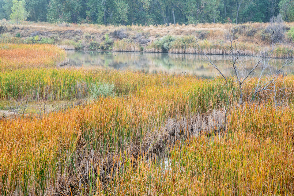
Creation of ponds and wetlands
Features with a permanent pool of water that provide both attenuation and treatment of surface water runoff. They can support emergent and submerged aquatic vegetation along their shoreline and in shallow, marshly zones, which helps enhance treatment processes and has amenity and biodiversity benefits
- Category: Structural / Ecosystem-based
- Application Scale: City
- Sector: Water
- Target: Adaptation

CSO Early Warning System
Early warning system consisting on a weather forecast, a sewer model, WWTP model and receiving water model to anticipate CSO events and to give early alerts to local administrations, operators and citizens to decrease the impacts of such events
- Category: Non-structural / Informational
- Application Scale: City
- Sector: Water / Environment
- Target: Adaptation
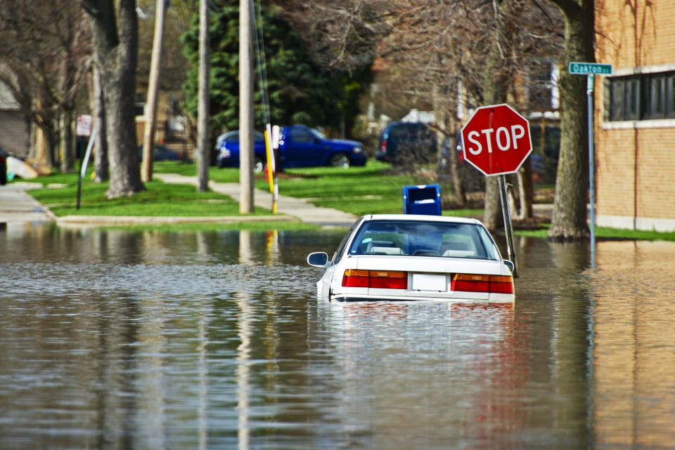
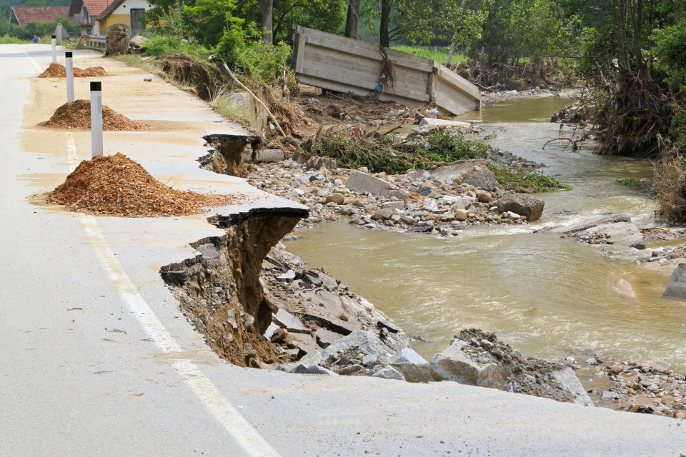
Data collection for flood recovery
When a major incident occurs and government is providing support to impacted areas, then it is important that a more accurate record of flood impacts is developed in order to target funds. At this stage data is likely to be collected by local authorities and will be differentiated between homes and businesses. The numbers should be confirmed rather than estimated.
- Category: Non-structural / Government policies and programs
- Application Scale: City
- Sector: Water / Social / Health / Emergency
- Target: Adaptation

Deepen knowledge on the urban climate (weather stations, etc.)
Deepen our knowledge of the urban climate by installing a network of fixed weather stations (to collect data that would enable us to know what its effect is on health and other sectors of interest) and occasional or mobile ones (that would enable us to evaluate the effectiveness of the measures applied, such as measuring climate variables before and after pilot interventions in urban space, especially in the settings identified as the most vulnerable)
- Category: Non-structural / Informational
- Application Scale: City
- Sector: Water / Mobility / Telecom / Social / Power / Waste / Health / Energy / Environment / Emergency
- Target: Adaptation
Define and improve pre-disaster plans
Strong multisectoral pre-disaster plans and flexibility to improve response
- Category: Non-structural / Government policies and programs
- Application Scale: City
- Sector: Water / Mobility / Telecom / Social / Power / Waste / Health / Energy / Environment / Emergency
- Target: Mitigation
Demountable flood protection barrier
Demountable flood protection barriers consist of a combination of removable and pre-installed permanent components. The system is planned to be erected following a flood warning and dismounted after the end of a flood warning. Contrary to the temporary flood barriers, the site of use is constrained by the location of the pre-installed components (foundation). Generally, the demountable components are composed of pillars, which are fixed after the warning alert to the pre-installed ground components. Between the pillars the protection line is inserted, which may consists of beams or plates.
- Category: Structural / Engineered and built environment
- Application Scale: City
- Sector: Water / Mobility / Telecom / Social / Power / Waste / Health / Energy / Environment / Emergency
- Target: Adaptation

Design pilot projects for social superblocks
Design pilot projects for social superblocks, geared towards providing a comprehensive care service for dependent persons using local homecare service teams
- Category: Non-structural / Behavioural
- Application Scale: Neighborhood
- Sector: Social
- Target: Adaptation
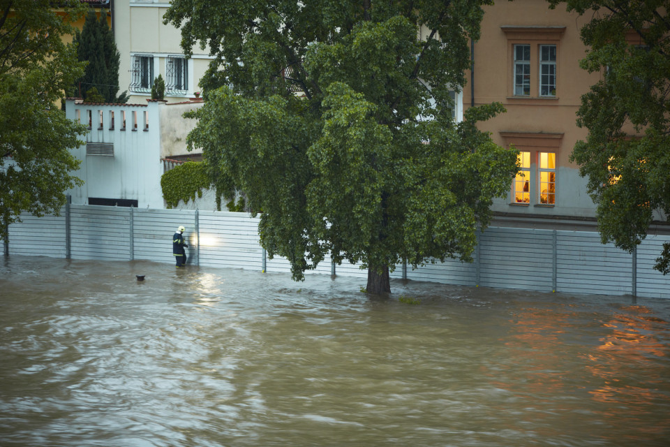
Develop a rescue plan
The aim of flood rescue operations is to move people from immediate or potential harm to safety. Failed evacuation operations (e.g. evacuation operations which have been initiated too late and have not been completed before egress routes are lost) can result in the need for large-scale coordinated rescue plans to take place to rescue people and animals from flood islands or inundated areas.
- Category: Non-structural / Government policies and programs
- Application Scale: City
- Sector: Emergency
- Target: Adaptation

Develop community flood plans
Raise awareness and enhance lines of contact to communicate flood risks and increase community activity. Such as conducting leaf clarances during the autumn fall or preparing property level protection ahead of flood events.
- Category: Non-structural / Government policies and programs
- Application Scale: Neighborhood
- Sector: Water / Social / Health / Environment / Emergency
- Target: Adaptation

Develop hazards mobile app
Mobile app to notify alerts to the general population and to allow citizens to report emergencies. Increases information means, awareness to the citizens and engagement
- Category: Non-structural / Government policies and programs
- Application Scale: City
- Sector: Water / Mobility / Telecom / Social / Waste / Health / Energy / Environment / Emergency
- Target: Adaptation
Disconnect paved surfaces from sewer system
Disconnecting paved surfaces from sewer system means to reduce the amount of clean runoff water collected in combined or separate sewer systems. Instead of collecting runoff to the sewer, the runoff can be transported through the surface, collected/stored for other water uses or infiltrated into the soil.
- Category: Structural / Engineered and built environment
- Application Scale: City
- Sector: Water / Energy / Environment / Emergency
- Target: Adaptation