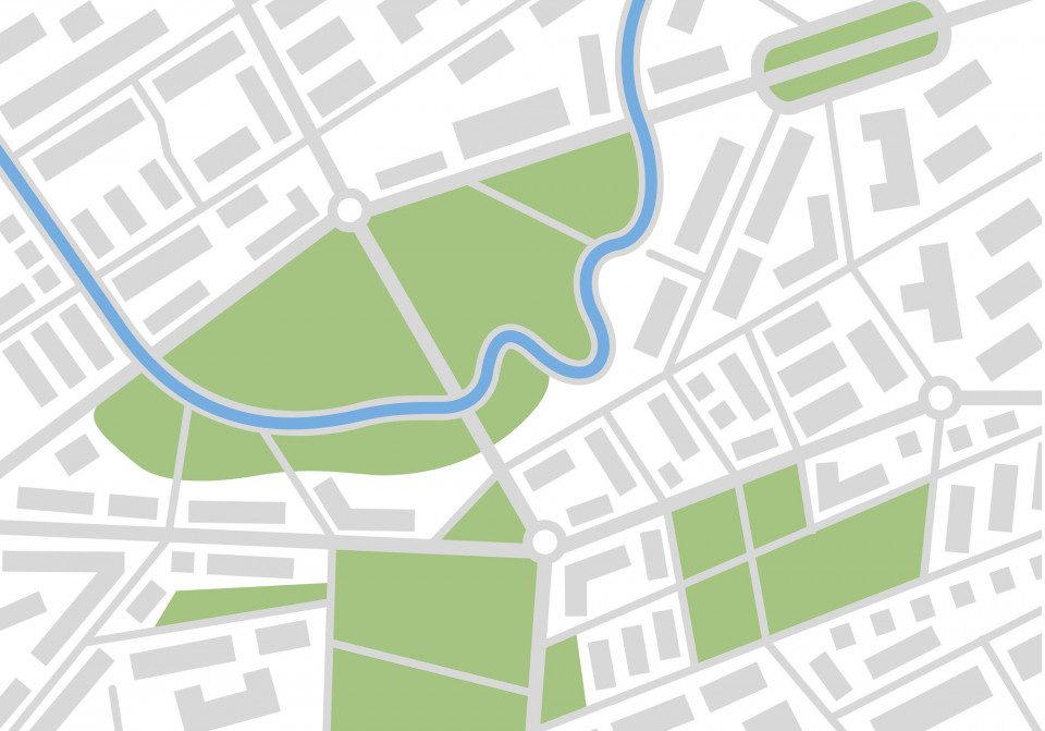
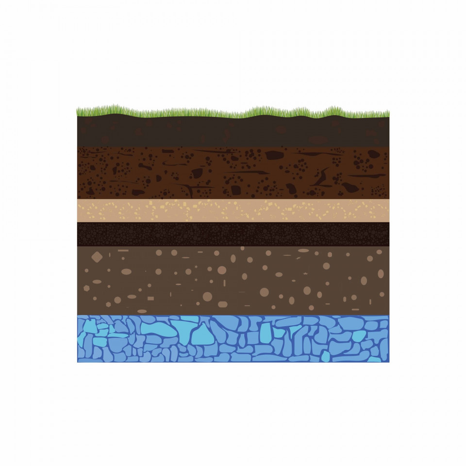
Draw up a base map of the city's subsoil to find out the present degree of occupancy and impermeability and create reserve spaces for infiltration
Draw up a base map of the city's subsoil to find out the present degree of occupancy and impermeability and create reserve spaces for infiltration
- Category: Non-structural / Informational
- Application Scale: City
- Sector: Water
- Target: Adaptation
Draw up a design guide with sustainability and resilience criteria
Draw up a design guide with sustainability and resilience criteria (based on the sustainable urban planning workshops) for architects, engineers and so on, as well as key players such as research centres and universities
- Category: Non-structural / Informational
- Application Scale: City
- Sector: Water / Mobility / Telecom / Social / Power / Waste / Health / Energy / Environment / Emergency
- Target: Adaptation
Draw up technical guidelines for public buildings
Draw up technical guidelines for public buildings that include the use of productive roofs, walls and facades
- Category: Non-structural / Informational
- Application Scale: City
- Sector: Health / Environment
- Target: Adaptation
Elaboration of municipal archives on major hazards
Through municipal archives, citizens will be able to be informed about the natural and technological risks to which the municipality is subjected throughout the years and the implementation of selected measures.
- Category: Non-structural / Government policies and programs
- Application Scale: City
- Sector: Water / Mobility / Telecom / Social / Power / Waste / Health / Energy / Environment / Emergency
- Target: Adaptation
Elevate buildings
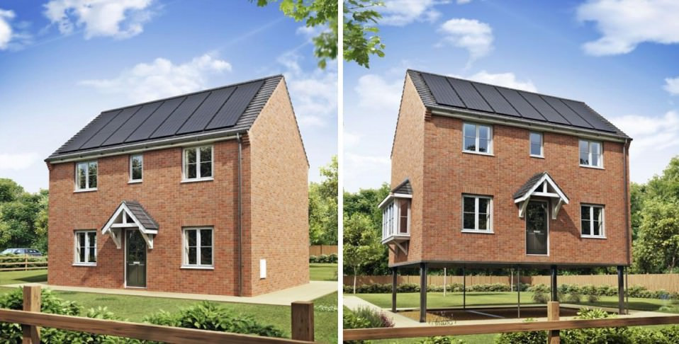
Building elevation is a measure mainly suitable for new constructions, but it can also be applied on existing buildings. The building is elevated to prevent flood waters entering the lowest floor of the building. This can be done by elevating the entire house, including the floor either on extended foundations, piers, piles or columns (normally, as a preventive measure), or by leaving the house in its existing position and constructing a new, elevated floor within the house (palliative).
- Category: Structural / Engineered and built environment
- Application Scale: City
- Sector: Mobility / Emergency
- Target: Adaptation
Emergency response plans and procedures
Establish/update/opertionalise emergency plans with close cooperation of emergency entities, decision makers, enterpireses and citizes. Include related new developments of climate change knowledge.
- Category: Non-structural / Government policies and programs
- Application Scale: City
- Sector: Water / Mobility / Telecom / Social / Power / Waste / Health / Energy / Environment / Emergency
- Target: Adaptation
End-of-pipe CSO treatment
Treatment units located at sewers overflow locations to partially treat the pollutants present in stormwater. There exist several alternatives: screens, sieves, baffles, vortex separators, coagulation/decantation, filtration, disinfection. They mainly reduce gross solids, sediments and its associated pollutants and some microbiological pollution in case of disinfection. They aim to reduce discharges into the receiving environment during rain episodes and ensure that any water discharged into the natural environment is of sufficient quality
- Category: Structural / Technological
- Application Scale: River Basin
- Sector: Water / Environment
- Target: Adaptation
Enhance communication of risk
Considering the dependence of several services on power network, establish a more uniform common understanding on the risk management in order to promote a more effective communication and to enable the preparation for eventual disruptions of several activities, considering power relations among actors.
- Category: Non-structural / Behavioural
- Application Scale: City
- Sector: Water / Mobility / Telecom / Social / Power / Waste / Health / Energy / Environment / Emergency
- Target: Adaptation
Exploit aquifer resource in Barcelona
Exploit the Besòs aquifer resource as potable water and build a purification plant
- Category: Structural / Engineered and built environment
- Application Scale: City
- Sector: Water
- Target: Adaptation
Feasibility study of producing regenerated water at the Besòs WWTP
Study the feasibility of producing regenerated water at the Besòs WWTP to feed the Besòs aquifer, to maintain the river’s ecological flows and feed the purification plant
- Category: Structural / Technological
- Application Scale: City
- Sector: Water
- Target: Adaptation
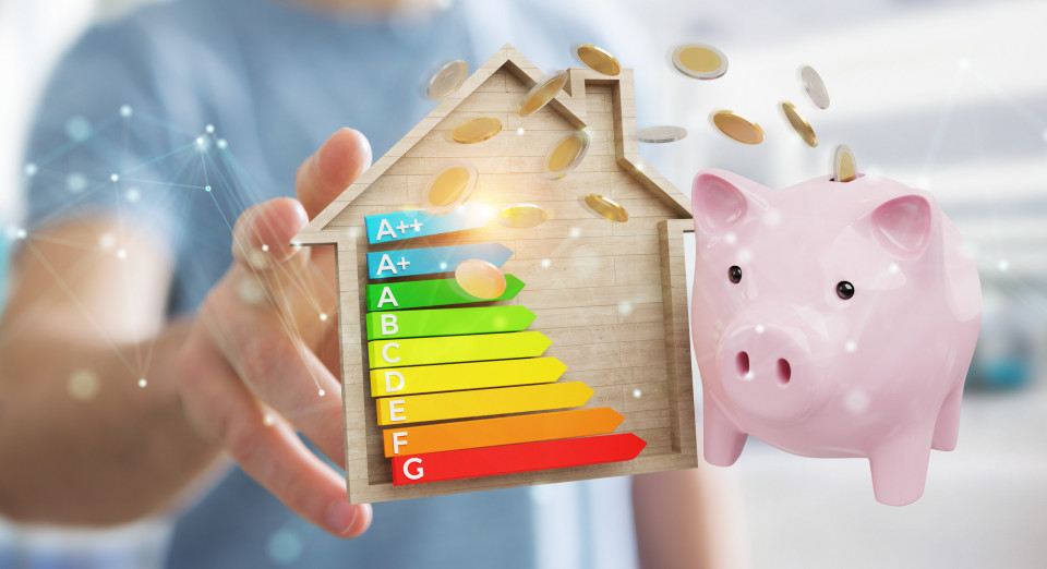
Financial incentives for energy efficiency retrofits in households
Offer tax incentives, grants and/or subsidies for housing energy improvements
- Category: Non-structural / Laws and regulations
- Application Scale: City
- Sector: Social
- Target: Adaptation
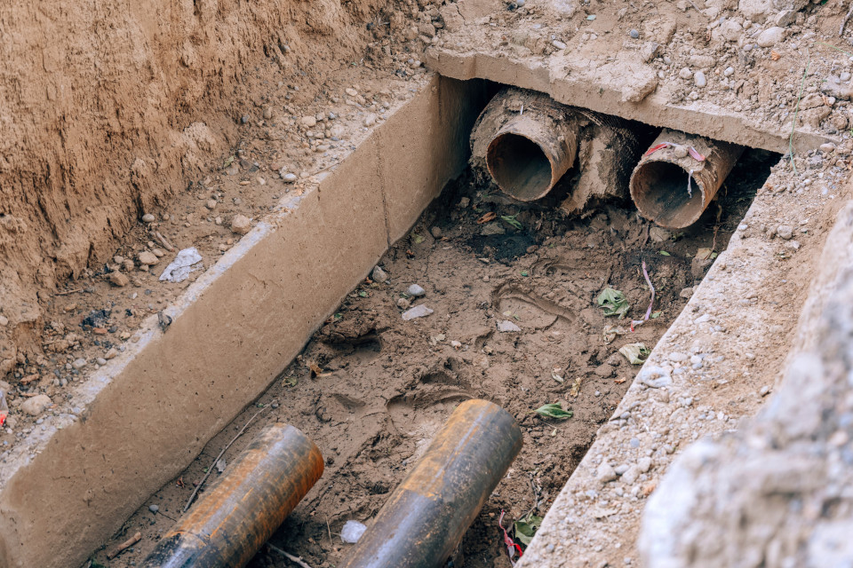
Fix connections and cross-discharges in drainage network
Eradication of cross-discharges between domestic sewers and water lines and between storm-water sewers and separate sewers
- Category: Structural / Engineered and built environment
- Application Scale: City
- Sector: Water / Environment
- Target: Adaptation
Flood storage areas for social uses
Provide different purposes on retention basins during dry conditions, such as playgrounds, sports grounds, walkways, parks and others.
- Category: Structural / Engineered and built environment
- Application Scale: Neighborhood
- Sector: Social
- Target: Adaptation
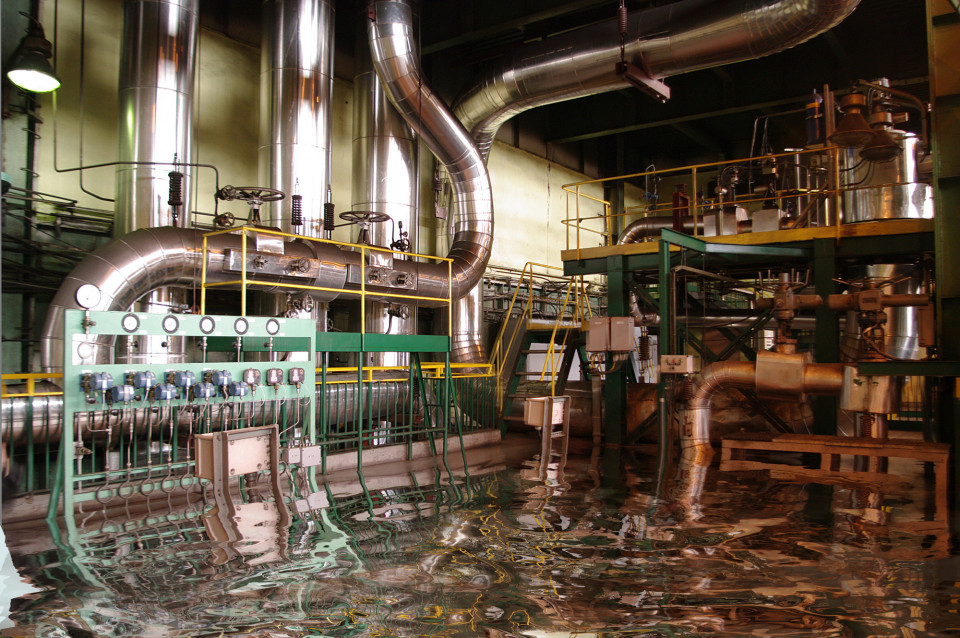
Flood-proof critical infrastructures
Evacuation routes and infrastructure in cities that are prone to flooding need to be flood proofed. Available options to reduce the negative impacts of flooding are maintenance and condition of infrastructure, use of appropriate design and materials, creation of floating roads and creation of elevated roads for evacuation routes. Especially for the floating options, those roads are flexible in both time and space and can move to accommodate a changing water level apart from floating.
- Category: Structural / Engineered and built environment
- Application Scale: City
- Sector: Water / Mobility / Telecom / Social / Power / Waste / Health / Energy / Environment / Emergency
- Target: Adaptation
Foster water saving on a municipal level
Foster water saving on a municipal level in irrigating parks and gardens, fountains, street cleaning and municipal buildings
- Category: Non-structural / Educational
- Application Scale: City
- Sector: Water / Environment
- Target: Adaptation
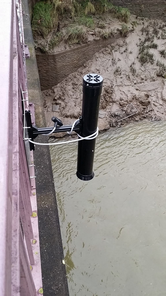
Gather high quality data of flooding
Gather, manage and share high quality data to help understand the risk of flooding. It provides greater understanding of how the catchment reacts under certain weather conditions can help emergency response preparations.
- Category: Structural / Technological
- Application Scale: River Basin
- Sector: Water / Mobility / Social / Health / Emergency
- Target: Adaptation
Green and biodiversity blueprint
Develop a green and biodiversity blueprint, to provide an instrument with the technical, environmental and design criteria that need to be borne in mind when planning green spaces in urban areas, in the spirit of conserving and enhancing the city’s plant and animal diversity. This document must include the technical aspects that plans for a green space or planting roadside trees have to comply with: soil quality, soil volume, planting distances, distances between trees and lampposts or other urban furniture, etc. It also has to decide the choice of the most suitable species (depending on the necessary resources, which produce allergens and which avoid pests and infestations) as well as recommendations for obtaining more services
- Category: Non-structural / Behavioural
- Application Scale: City
- Sector: Water / Social / Health / Environment
- Target: Adaptation
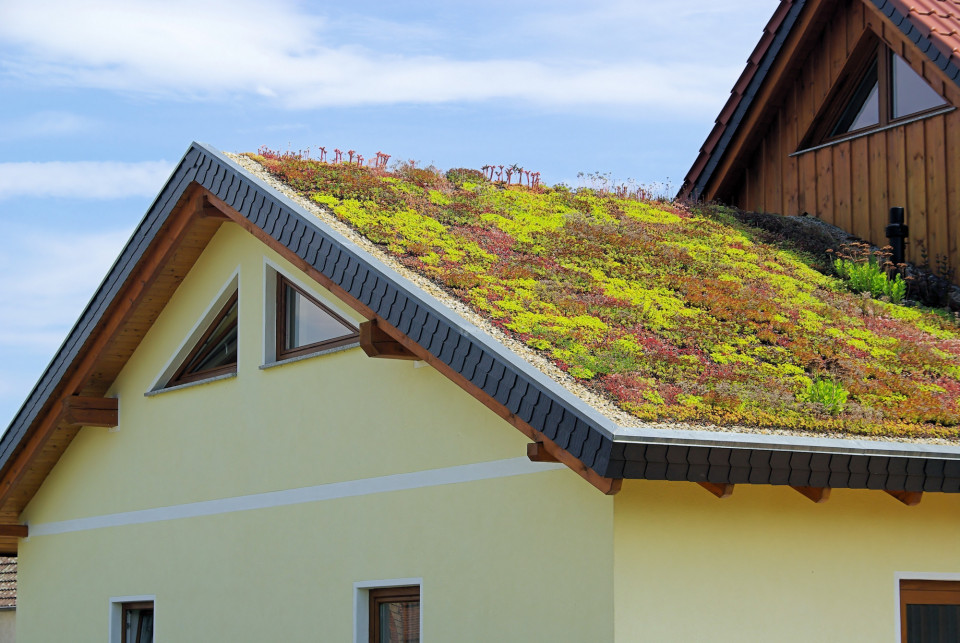
Green roof competition
A consolidated green roof competition (e.g. one roof per district yearly) will contribute to improve climate urban resilience and residents awareness and engagement
- Category: Non-structural / Educational
- Application Scale: Neighborhood
- Sector: Water / Social / Health / Environment
- Target: Adaptation
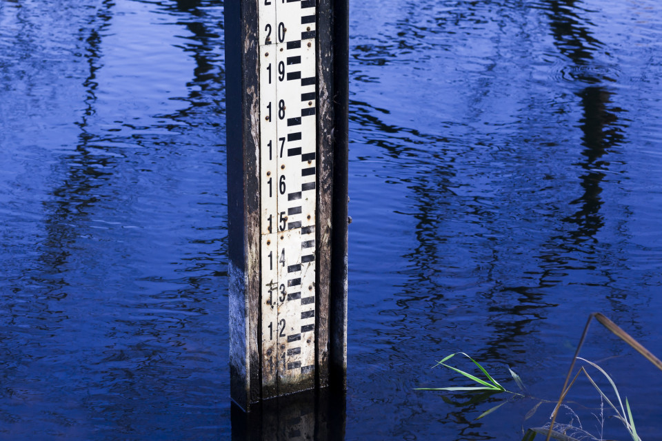
High water flood mark
A high water flood mark is a physical/visible mark that represents the maximum rise of fluvial/pluvial elevation over land. It can be a natural or artificial mark. It aims at protecting the collective memory of citizens against flood risk and raising people's awareness.
- Category: Non-structural / Informational
- Application Scale: City
- Sector: Social
- Target: Adaptation
Highlight the commitments, actions and good practices of the various stakeholders
Highlight the commitments, actions and good practices of the various stakeholders
- Category: Non-structural / Government policies and programs
- Application Scale: City
- Sector: Water / Mobility / Telecom / Social / Power / Waste / Health / Energy / Environment / Emergency
- Target: Adaptation
